San Bernardo
Location
Directions
Petersburg, Oklahoma, is 16 miles south of Ringling, Oklahoma on OK Hwy 89. The Longest Road has a sign marking the Road. On the SW corner of Hwy 89 and E2110 Rd (Longest Road). Marker is the short, so it can be overlooked if grass is over grown. **
Regions
Maps
- 33.954707, -97.569731
- OpenStreetMap
- Google Maps
- Bing Maps
- Apple Maps
- MapQuest
Pictures
Notes
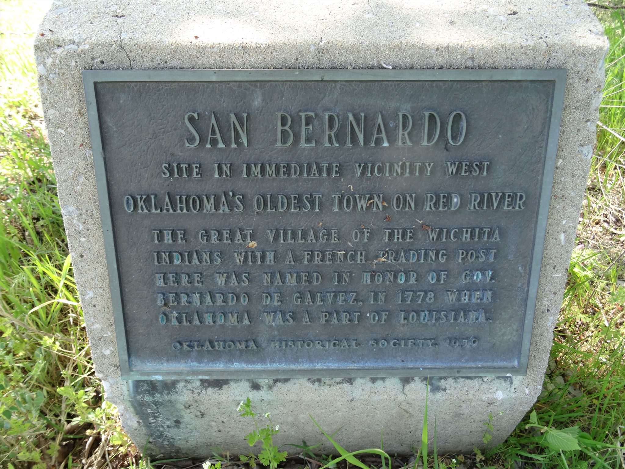
* Description from "Mark of Heritage" by Muriel H. Wright (1876).
** GPS Coordinates and Image from Waymarking.com: http://www.waymarking.com/waymarks/WMQX6D_San_Bernardo_Ringling_OK
Listed on the National Register of Historic Places
San Bernardo ** (added 1982 - Site - #82003685)
Also known as Taovayas Village; Longest Site (JF-1);Spanish Fort Sites
Address Restricted, Ringling
An important fortified Wichita Indian village on the north bank of the Red River, this site was the scene of regular French trading activity in the mid-1700s.
The Longest Site
In 1965-1966 , excavations at a site about 15 miles south of Ringling, Oklahoma revealed the Toavayas Village detailed in Spanish records of the Parrilla Expedition. The site, named after the Longest Family who had farmed in the area for many years, covered and area of 35-40 acreas.
Note:
I try to find the marker for this site, but was unable to locate it. There was a Historical Marker road sign, but the monument was not there. I did find a road that was marker the Longest Road, but it was to late in the day to try to find the site. I also found a farm on the west side of OK hwy 89 about a mile north of the Petersburg town sign with the name Longest on the mail box.
There was only one building in the Petersburg town.
I did not get any pictures in the town. I will have to make another research trip soon.
Links:
This Link has information about the Longest Site:
http://www.ou.edu/cas/archsur/counties/jefferson.htm
Petersburg, OK
** GPS Coordinates and Image from Waymarking.com: http://www.waymarking.com/waymarks/WMQX6D_San_Bernardo_Ringling_OK
Listed on the National Register of Historic Places
San Bernardo ** (added 1982 - Site - #82003685)
Also known as Taovayas Village; Longest Site (JF-1);Spanish Fort Sites
Address Restricted, Ringling
- Historic Significance: Information Potential
- Area of Significance: Historic - Aboriginal
- Cultural Affiliation: Taovayas, Wichita
- Period of Significance: 1750-1799, 1800-1824
- Owner: Private
- Historic Function: Domestic
- Historic Sub-function: Village Site
- Current Function: Agriculture/Subsistence
- Current Sub-function: Agricultural Fields
An important fortified Wichita Indian village on the north bank of the Red River, this site was the scene of regular French trading activity in the mid-1700s.
The Longest Site
In 1965-1966 , excavations at a site about 15 miles south of Ringling, Oklahoma revealed the Toavayas Village detailed in Spanish records of the Parrilla Expedition. The site, named after the Longest Family who had farmed in the area for many years, covered and area of 35-40 acreas.
Note:
I try to find the marker for this site, but was unable to locate it. There was a Historical Marker road sign, but the monument was not there. I did find a road that was marker the Longest Road, but it was to late in the day to try to find the site. I also found a farm on the west side of OK hwy 89 about a mile north of the Petersburg town sign with the name Longest on the mail box.
There was only one building in the Petersburg town.
I did not get any pictures in the town. I will have to make another research trip soon.
Links:
This Link has information about the Longest Site:
http://www.ou.edu/cas/archsur/counties/jefferson.htm
Petersburg, OK


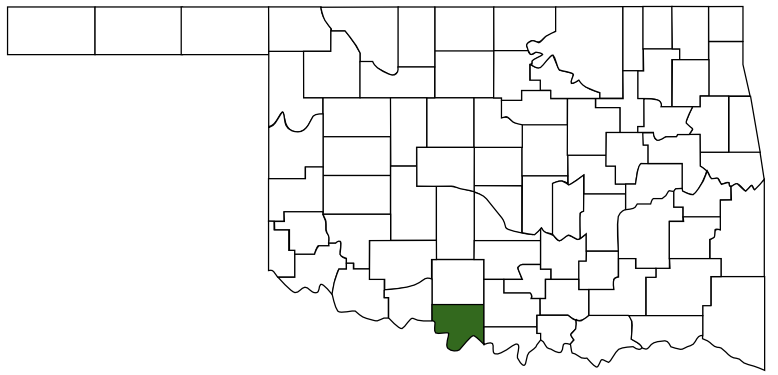
 Jefferson County
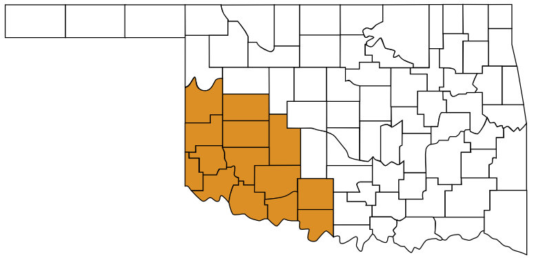
 Great Plains Country
 Oklahoma